Teledyne, Emesent to provide GPS-denied 3D-mapping capabilities in CBRN environments

Teledyne FLIR Defense has announced the expansion of its "Third-Party Payload Integration Program" with the certification of Emesent’s Hovermap LiDAR payload, delivering Emesent’s GPS-denied 3D-mapping capabilities across Teledyne FLIR’s unmanned aerial systems, ground robots and radiation detection platforms.
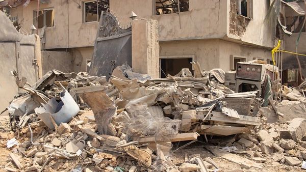
According to a press release from Emesent, this combination addresses a "GPS-denial gap in air and ground domains where unmanned systems can lose GPS connectivity in common operating areas, such as tunnels, urban structures and CBRN-contaminated spaces".
The company writes that by using LiDAR-based simultaneous localisation and mapping, Emesent’s Hovermap payload generates accurate 3D maps without GPS or external infrastructure.
"Certification is a critical stage in our ability to support Teledyne FLIR’s unmanned deployment platforms, building on the inherent versatility of the Hovermap system while strengthening our capabilities across public safety and defence," said Dr Stefan Hrabar, Emesent co-founder and chief strategy officer.
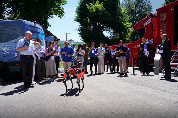
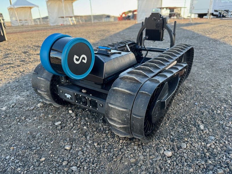
On Teledyne FLIR’s SkyRanger R70 and R80D SkyRaider unmanned aerial system platforms, Hovermap enables mapping even in GPS-denied environments. Mounted on the company’s SUGV™ 325 ground robot, Hovermap provides users with persistent 3D awareness of complex enclosed environments streamed in real-time. When integrated with Teledyne FLIR’s MUVE R430 radiation detection payload on the small unmanned ground vehicle, Hovermap allows operators to see not just where a robot has been, but where radiation levels are elevated.
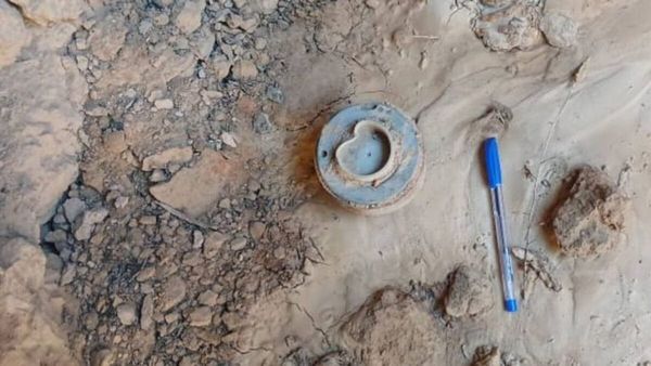
This gives CBRN teams an immediate, geo-referenced picture of the threat environment, according to Emesent.
"Spatial picture of the threat environment"
"Knowing the shape of a space is powerful. Knowing where the radiation is within that space, in real time, without putting a person in harm’s way, is an operational game-changer," said Dr Hrabar. "Our partnership with Teledyne FLIR Defense brings together GPS-denied mapping and radiation detection in a way that directly addresses what CBRN operators need in the field."
"Teledyne FLIR builds platforms trusted for the most demanding CBRN missions in the world," said Tung Ng, vice president of unmanned systems North America for Teledyne FLIR Defense. "Working with Emesent, we’ll be able to give operators a fused, spatial picture of the threat environment they simply haven’t had access to before.
"This is the direction the whole field is heading in, and we’re delivering it now through certified third-party payloads like Hovermap," Ng added.
The partnership also establishes a technical foundation for future capability development, and both companies are actively developing autonomous navigation capabilities and expanding multi-sensor fusion beyond radiation to additional CBRN detection modalities.